
Ecological & Environmental Baseline Surveys
Establish the environmental reference conditions of a site, including habitats and natural features.
Terrestrial & Marine Surveys
Terrestrial and marine survey methods are defined to match each project, sensitive species, and appropriate seasonal survey windows.
Understand baseline conditions before evaluating change.
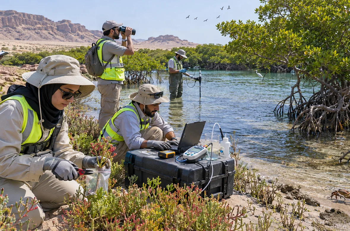
Environmental baseline surveys document physical and biological characteristics of a project area. They provide evidence for impact assessments, highlight sensitive receptors and inform monitoring plans.
Scope of Work
Review available mapping and environmental background information.
Identify habitat features, vegetation and wildlife indicators.
Assess relevant physical environmental conditions.
Document survey requirements and seasonal monitoring considerations.
Reports & Documents Provided
The final reports and documents depend on the project and agreed scope of work.
Project-area baseline environmental profile.
Sensitivity findings and mapped habitat information where supported.
Recommendations for follow-up surveys and impact assessment.
Where This Applies
Specialist Questions
Why establish a baseline?
To document the existing environment and provide a reference for impact prediction and future monitoring.
Will fieldwork be required?
Field surveys may be required depending on the site, receptors and agreed scope.